NOAA gives a strong to very strong El Niño better than an 83 percent chance this winter, and the WMO forecasts a record. Unlike a hurricane, this hazard arrived with a lead time that budgets, grant calendars and supplier plans have yet to use.
Key Takeaways
Most climate hazards give a few days of warning. A hurricane track firms up a week out, a heat dome a few days before it settles. The El Niño now building in the Pacific has been on forecasters' screens since early summer, and by October the signal had become one of the clearest in the modern record. That changes the question for sustainability, risk and public finance leaders. Nobody will be able to call this winter's floods, droughts and shipping constraints a surprise. The only open question is whether plans, budgets and supplier programs were adjusted while there was still time to act.
The NOAA Climate Prediction Center kept its El Niño Advisory in force in its October 8 discussion. Most Niño indices rose over the past month, reaching +2.1°C in Niño 3.4, +3.0°C in Niño 3 and +3.9°C in Niño 1+2. NOAA puts the chance of a strong to very strong event at more than 83 percent through January to March 2027, and the chance of what it calls a historic event, a relative index of +2.5°C or more, at 54 percent for September to November, 83 percent for October to December and 70 percent for November to January. NOAA is careful to add that impacts are more likely, "though not guaranteed."
The World Meteorological Organization is reading the same water. Its October update says the Niño 3.4 average rose from +1.6°C above normal in June to +2.5°C in August, and forecasts a seasonal average of about +3.7°C for October to December, peaking around December. That would be the highest since observations began, against a previous record of +2.6°C in November 2015 to January 2016. A consensus of 13 national and international centers gives a near 100 percent likelihood that the event persists through February 2027. "El Niño is firmly established and strengthening rapidly," said Secretary-General Celeste Saulo, adding that "the ocean it's drawing from is the warmest we've ever measured it." NOAA and the WMO use different baselines, so their figures are not directly comparable, but both point the same way.
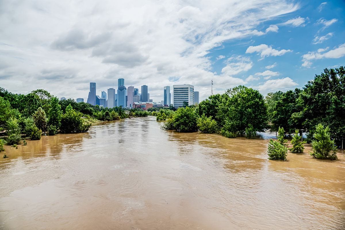
For US operations, NOAA's winter outlook, reported by FOX 2 Detroit on October 16, favors wetter than average conditions from December to February across the Southwest, the South and the East Coast, with warmer than average temperatures across much of the northern half of the country. Drought could ease or end in parts of the Southwest, Southern Great Plains, Southeast and East Coast. That relief carries its own hazard. National Weather Service director Ken Graham warned that "too much precipitation on dry soil can fuel destructive flash floods and mudslides." Facilities, distribution centers and municipal stormwater systems across the southern tier are the ones in the path of that risk.
Supply chains face the opposite problem in many places. The WMO warns that El Niño will shift rainfall patterns, "increasing the risk of drought and floods in different regions," and some of that stress is already visible. India's June to September monsoon ended 12.6 percent below its long period average, according to 5paisa, the weakest in more than a decade. June alone was 36.5 percent below normal, and by the end of that month the area planted with kharif crops was nearly 21 percent lower than a year earlier. Shipping is exposed too. Hellenic Shipping News reports that the Panama Canal Authority restored daily transit slots to 33 from 32 on October 15 as Gatun Lake recovered, but is already weighing steps for 2027, because the most pronounced effects of moderate or strong El Niño events have historically appeared the following year. For companies sourcing crops, textiles or components through these routes and regions, the forecast is a supplier risk signal with months of lead time.
The lead time is least useful where funding cycles are fixed. New York's Environmental Facilities Corporation opened its Green Resiliency Grant on October 7, offering $45 million for municipal stormwater projects that pair green and gray infrastructure to cut flood risk. Grants run from $1 million to $10 million and can cover up to 90 percent of eligible costs. Applications close January 29, 2027, weeks after the December peak the WMO expects. The money is real, but it will fund defenses for the next wet season, not this one.
Demand for resilience money also far exceeds supply. In June, Connecticut's DEEP awarded $5.1 million in its second round of Climate Resilience Fund grants after receiving 52 applications requesting $39.5 million, so roughly one dollar in eight was funded across 14 awards. Some awards provide matching funds so towns can pursue federal construction grants such as FEMA's BRIC program. State emergency services commissioner Ronnell Higgins said that "helping towns access FEMA funds is especially important in today's federal funding landscape." For local governments, the binding constraint this winter is less the forecast than the capacity to find, apply for and manage the grants that follow it.
The practical lesson is that a forecast this strong should be treated as a planning input, not a news item. Organizations that act on it now can still change outcomes before the December peak:
El Niño winters are usually remembered for the floods and droughts they bring. This one may also be remembered for how long everyone knew it was coming. The organizations that come through it in good shape will be the ones that treated October's forecast as the start of the response, not a reason to wait and see.

Guide
NOAA's outlook points flash flood and mudslide risk at the South and East Coast this winter. This guide covers the communication systems and response protocols that keep teams connected once those storms hit.
Download

Report
With resilience funds covering about one requested dollar in eight and deadlines landing after the forecast peak, grant readiness decides which towns get defenses built. This report shows how the strongest agencies manage that pipeline.
Download

Report
A drought forecast for supplier regions months ahead is only useful if supplier data is current. This report looks at moving from periodic audits to continuous, data-driven supplier monitoring.
Download
Hurricane Isaias became the Atlantic's first hurricane on October 7, the latest in the satellite era, days after Southern California's October heat warning. Risk plans built around a fixed season are preparing for the wrong months.
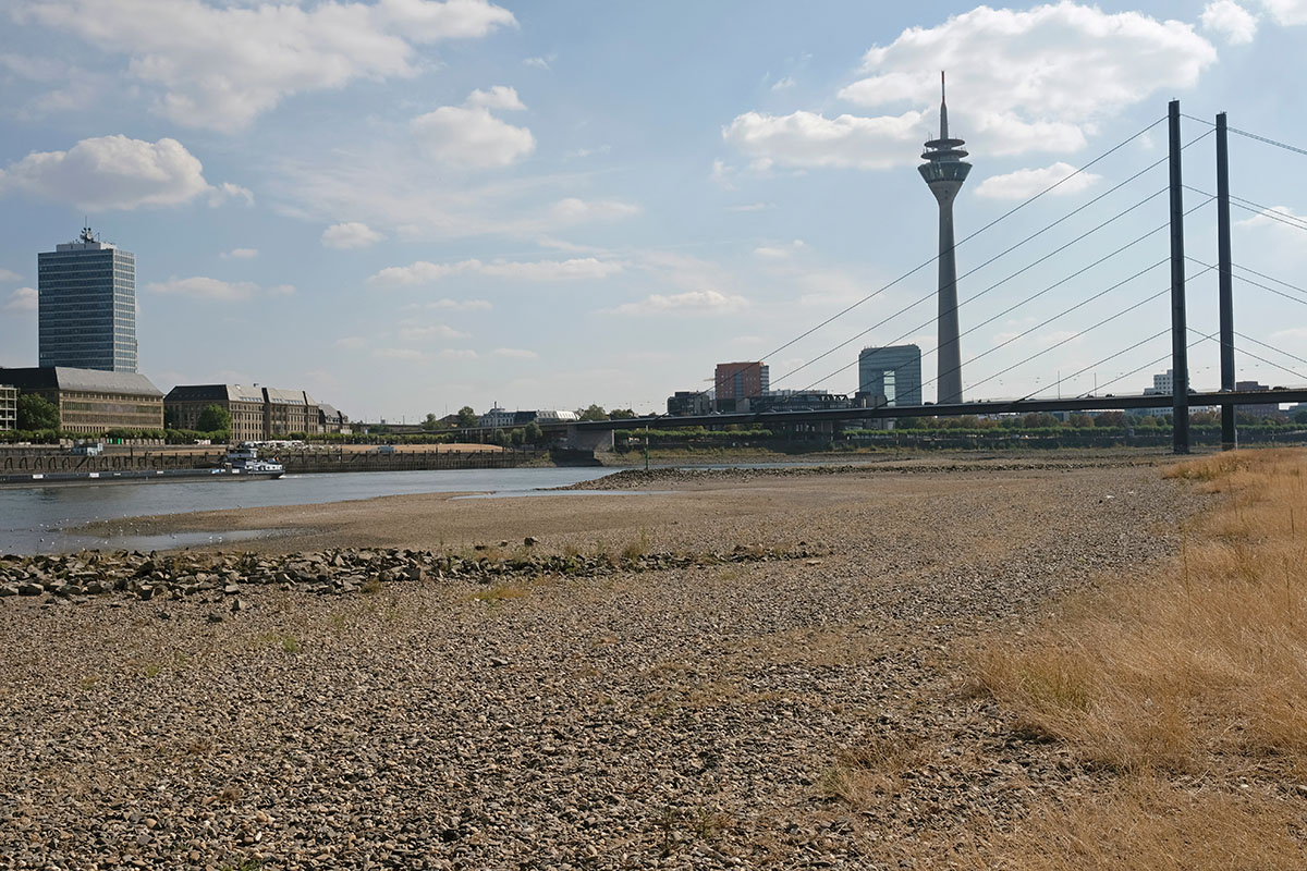
A key Rhine gauge fell to its lowest reading since 1880 and barges ran restricted for 74 days. English courts are signaling that weather this predictable may not count as force majeure, leaving the bill with whoever signed the contract.
